Wildlife Surveying
Our technology enables population counts of species over large areas with accuracy and safety better than any current solution.
Are you counting animals manually?
Many state and provincial conservation authorities spend hundreds of thousands of dollars annually performing manual aerial counting of species (e.g., moose, deer, wolves, wild hogs, etc.) or settling for cheaper, less reliable data. Superwake provides quality data at competitive prices by using ultra-efficient drones operating beyond the visual line of site.
Our engineers have developed technology allowing large area coverage that rivals manned aircraft. Equipped with electro-optical and infrared cameras, our drones can systematically capture accurate and reliable data.
Superwake is currently carrying out 5000+ km2 projects with various conservation agencies throughout Canada and the United States to iterate and improve our technology.
Accurate and Reliable
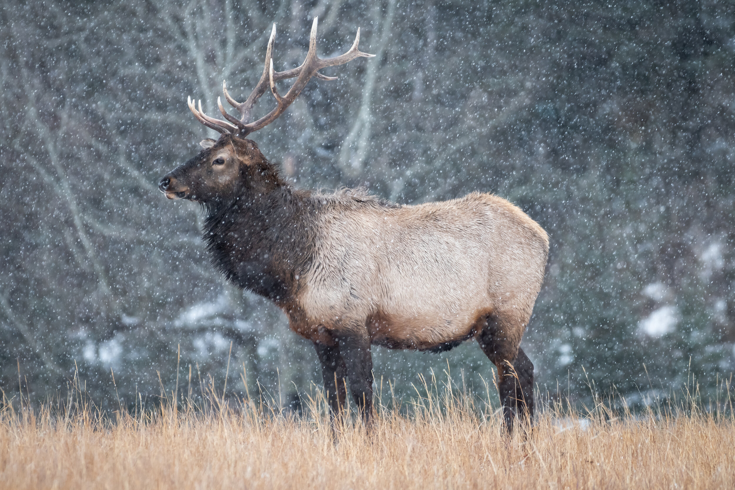
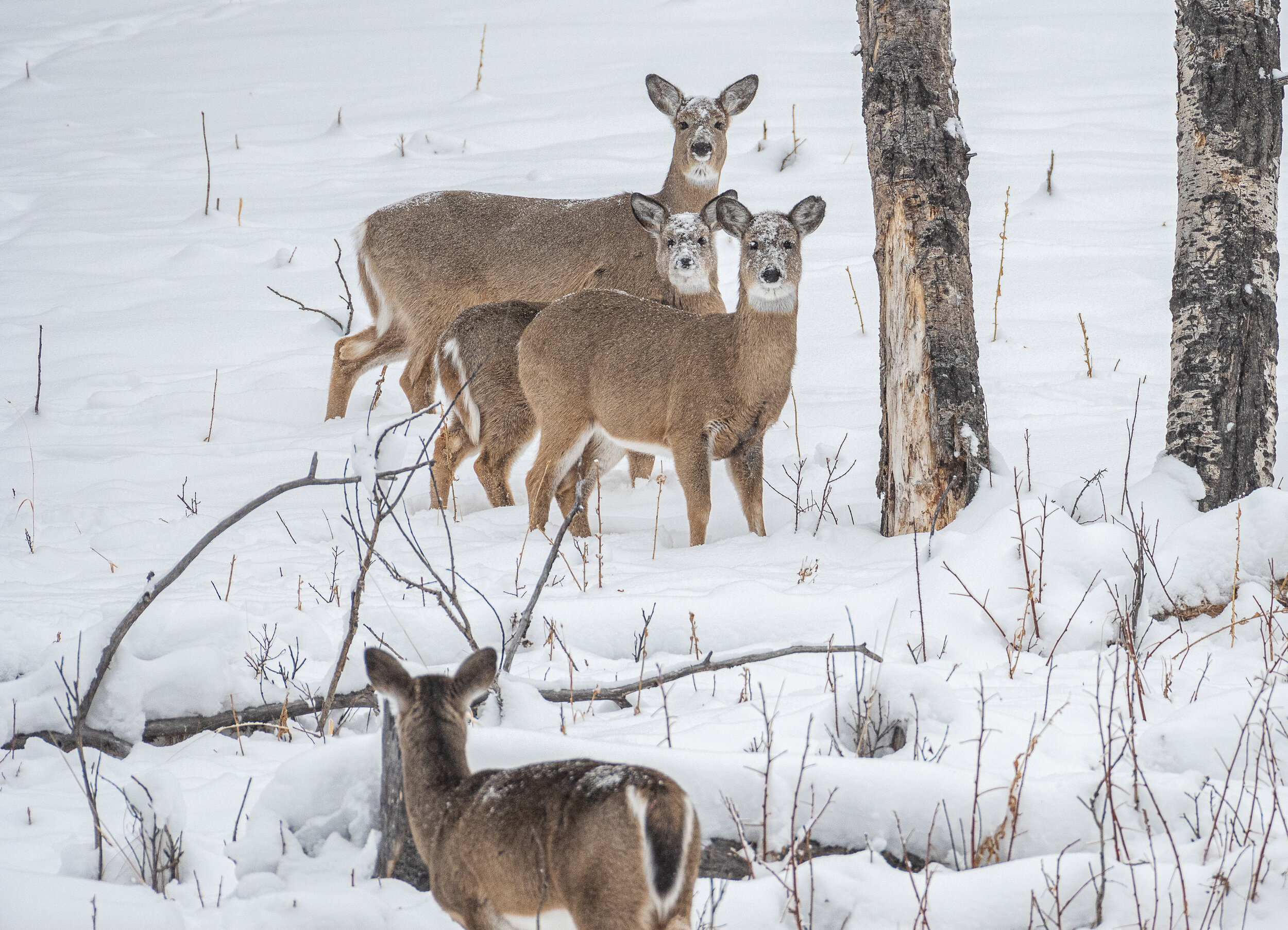
Our platform can provide more accurate data than crewed aircraft because we use colour and infrared cameras with multiple observers. Also, we review data in the post and reconfirm all counts. We can differentiate between deer species (e.g., whitetail or mule) and the age and sex of moose and elk. With preprogrammed flight lines, our data is consistent and digitized. Our solar electric drones are able to loiter for long periods of time without disturbing wildlife.

Operate In Harsh Conditions
Our drones can fly in the same weather helicopters can, whether -40 deg. C or 50 km/h winds. We take the human element out of aerial imagery and ensure your conservation staff stays safe on the ground.