SW-117 RPAS
Long Endurance BVLOS Fixed-Wing Drone
Starlink onboard.
Starlink Mini onboard means no radio line of sight restrictions. You can fly in any terrain and control the SW-117 and payload from anywhere in the world.

Deploy from anywhere.
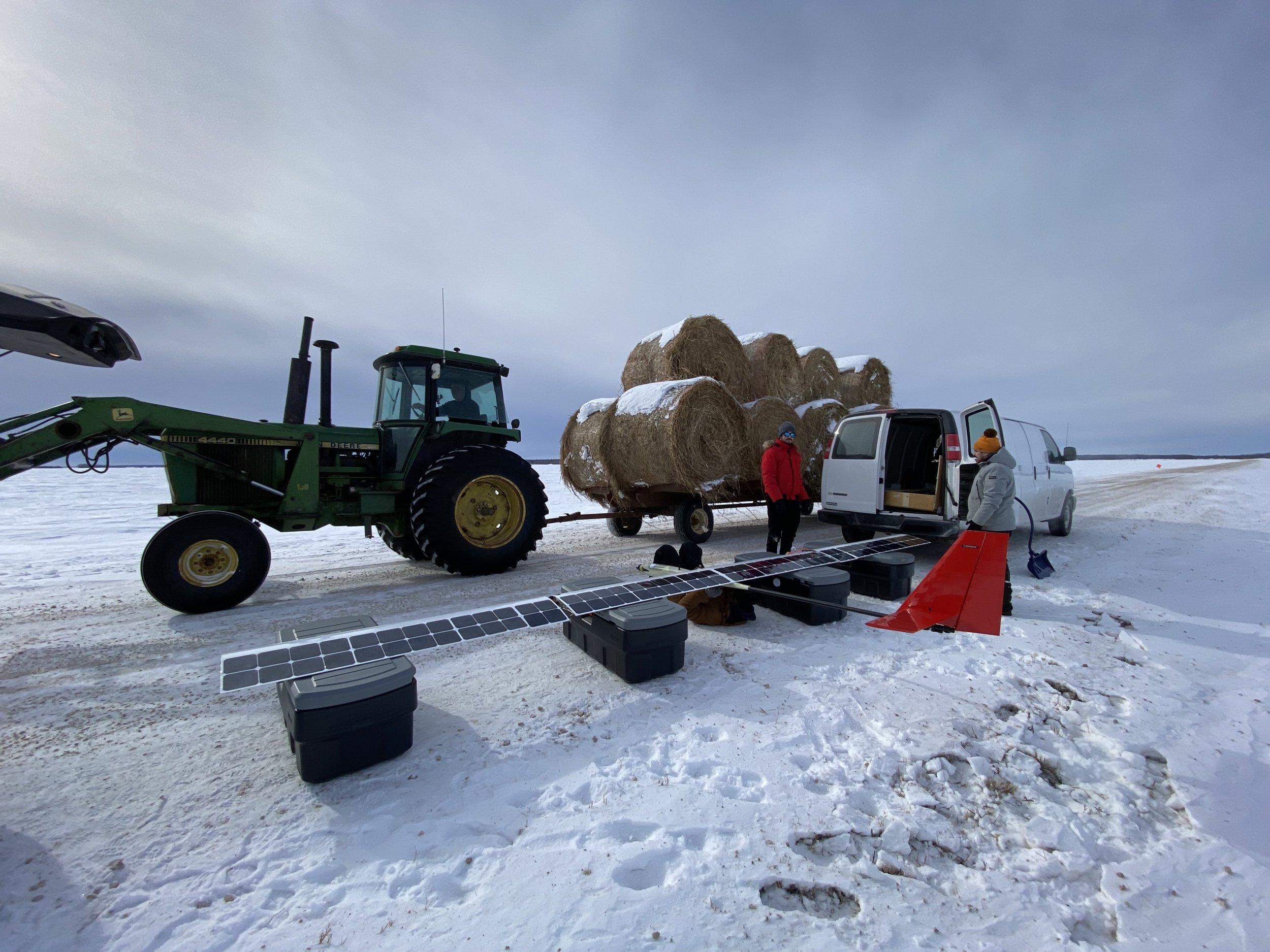
The SW-117 RPAS is catapult launched, and the slow landing speed of the aircraft means that a conventional belly-landing on grass or dirt is possible without damaging the aircraft or payload. There is no need for landing gear, or recovery system.
Spend more time flying.
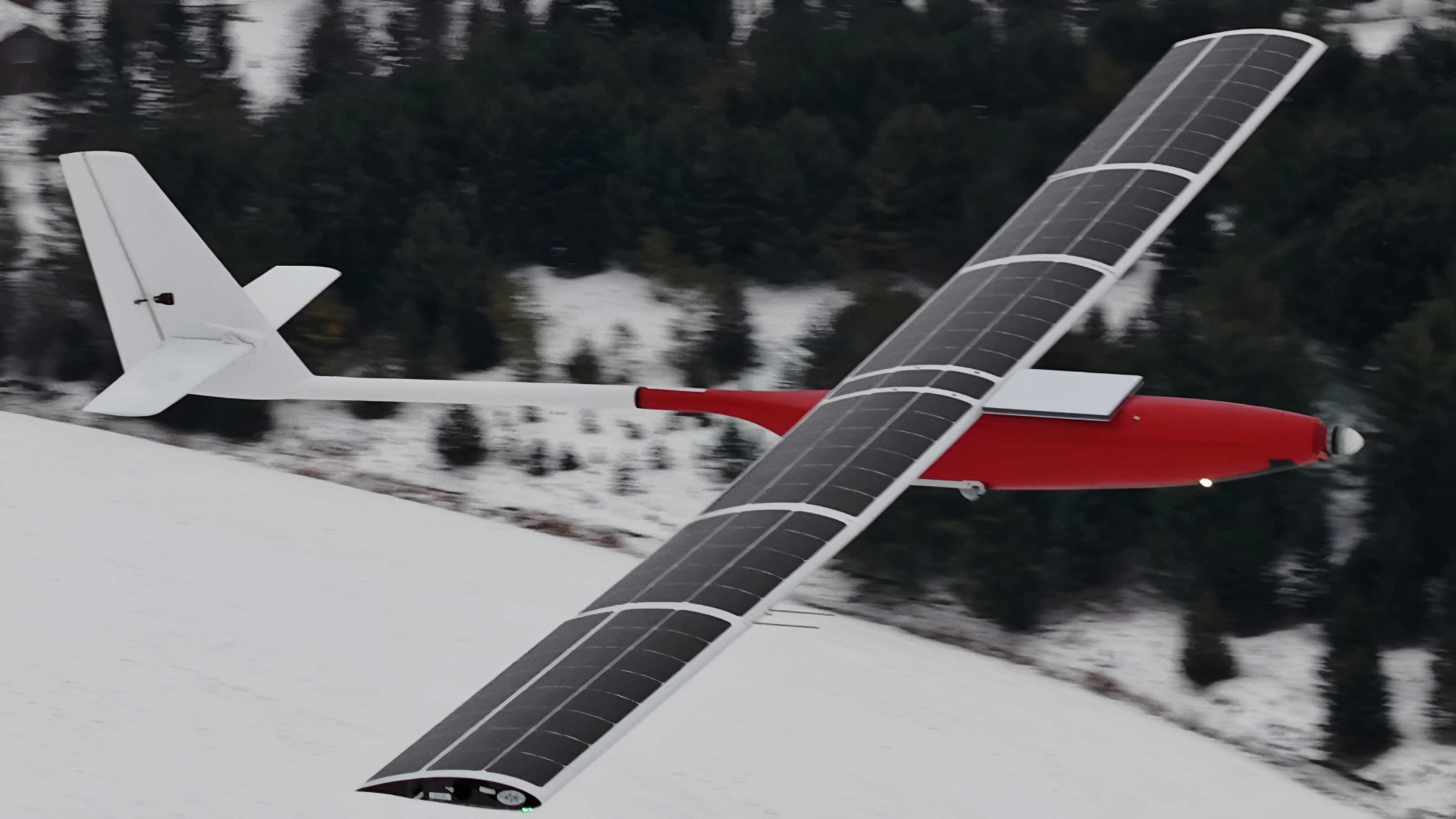
Outfitted with high-efficiency solar cells and custom high-capacity lithium-ion batteries, the SW-117 RPAS is equipped to perform ultra-long endurance aerial missions. This means less downtime, and more time doing work.

Applications
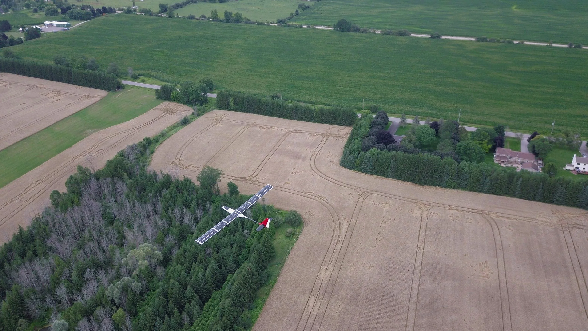
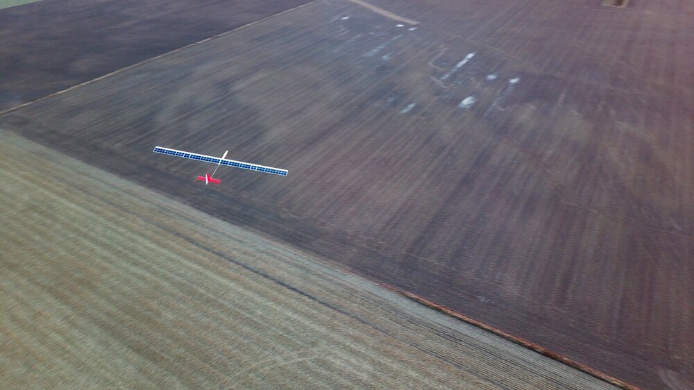
With the capability of multi-day missions and beyond visual line of sight (BVLOS) operation, the SW-117 RPAS is well suited for pre-planned long-duration aerial imaging or sensing missions over vast areas of land or ocean. Contact us to find out if the SW-117 RPAS is suited for your application.
Technical Specifications
Performance
Endurance: 4 hr (-40C, No Sun), 6+ (25C, Sunny)
Maximum Altitude: 3000 m
Stall Speed: 12 m/s
Cruising Speed: 17 m/s
Max Speed: 22 m/s
Maximum Takeoff Weight: 25 kg
Features & Specs
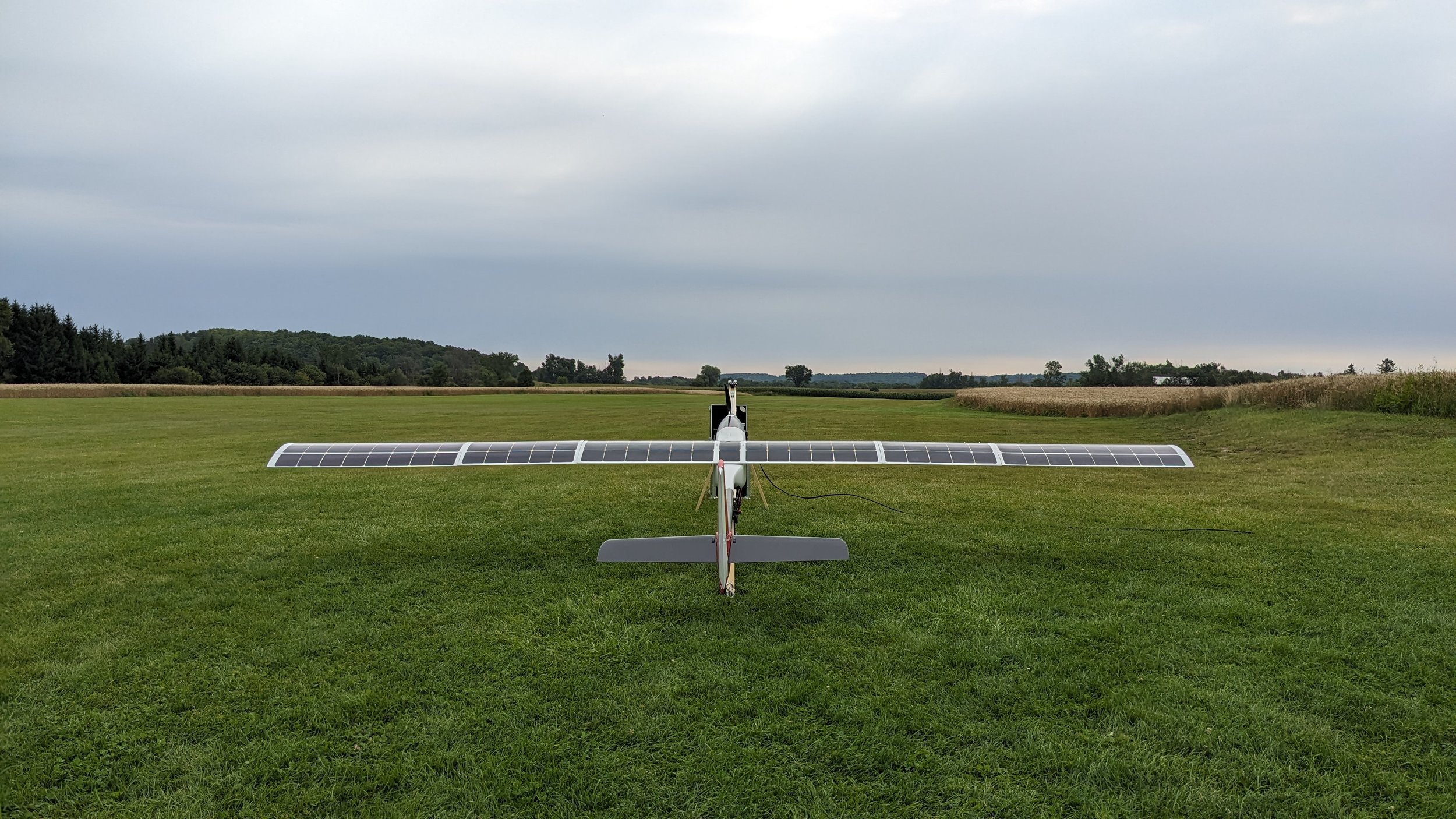
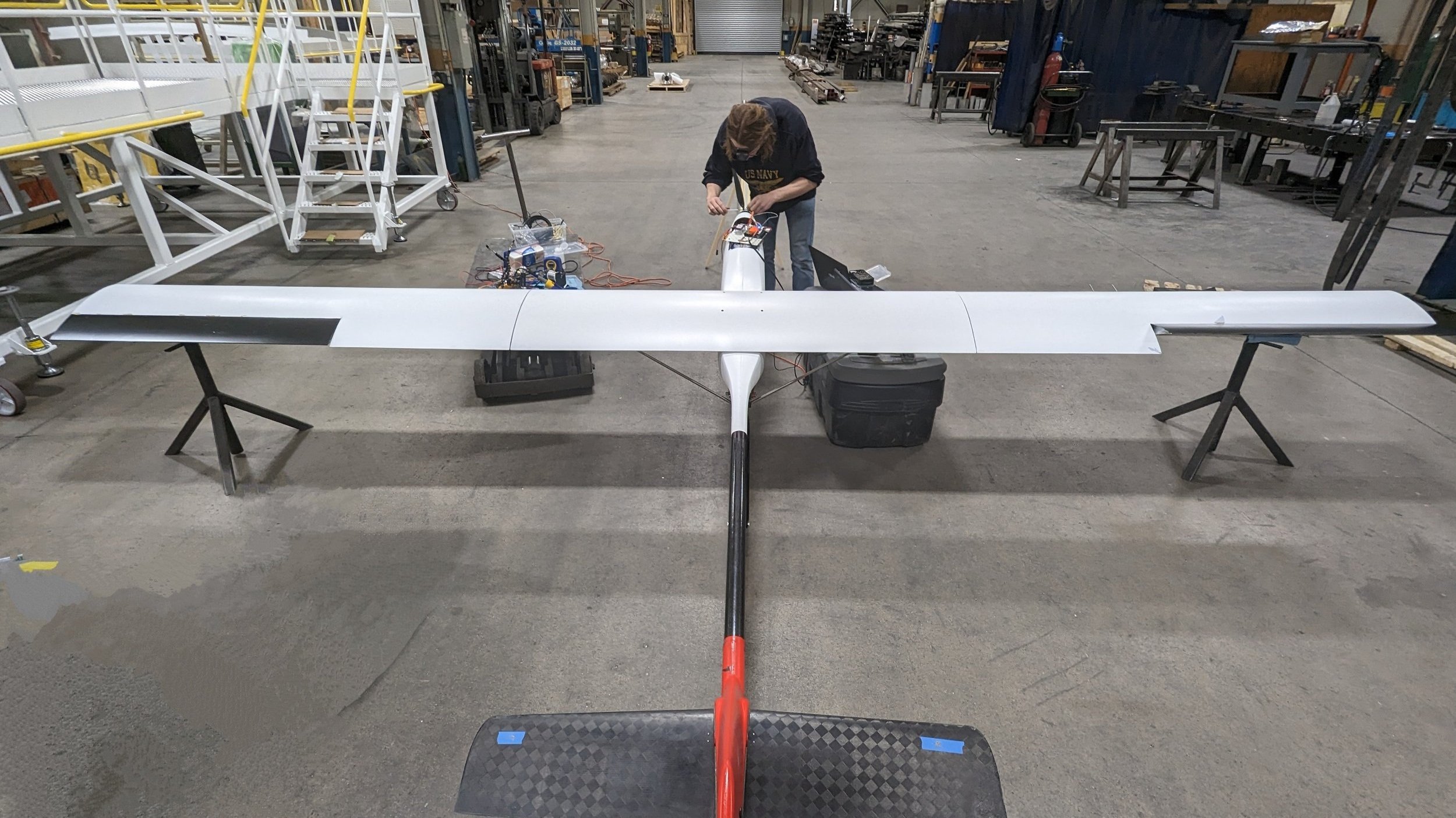
Wingspan: 5.3 m
Length: 3 m
Fuel: Solar Cell & Li-Ion Batteries
Powerplant: BLDC Motor & Folding Propeller
Takeoff Method: Catapult
Recovery Method: Belly landing (100 m)
Communication Range: Unlimited (Starlink On-Board)
Regulatory Range: Unlimited (Onboard Detect and Avoid)
Standard Payload Equipment.
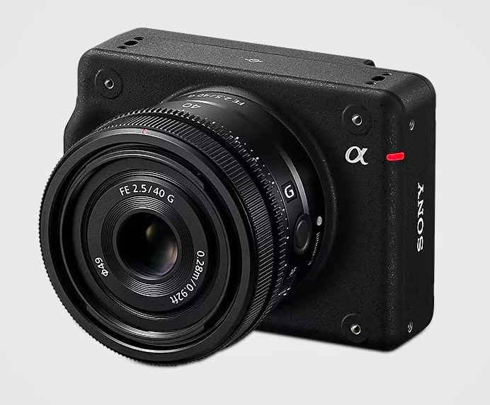
Mapping
The Sony ILX-LR1 61 MP with a 90 mm lens can provide 0.5 cm/px images from an altitude of 120 m.
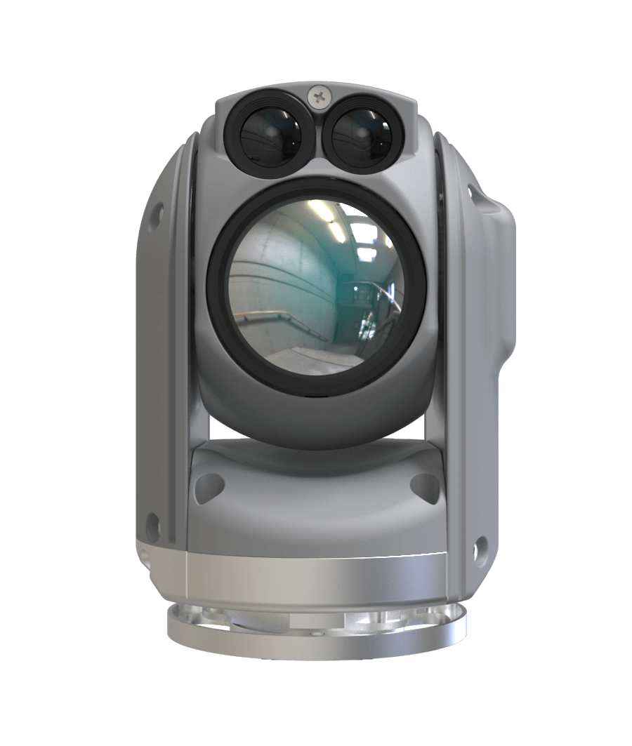
ISR
Gimbaled EO/IR camera system can scan for thermal heat signatures at a rate of 30 sq. km/hr. day and night. With an infrared GSD of 100 mm/pixel, it is possible to accurately identify animals and persons and monitor their location in real-time.