Because your operations deserve better data.
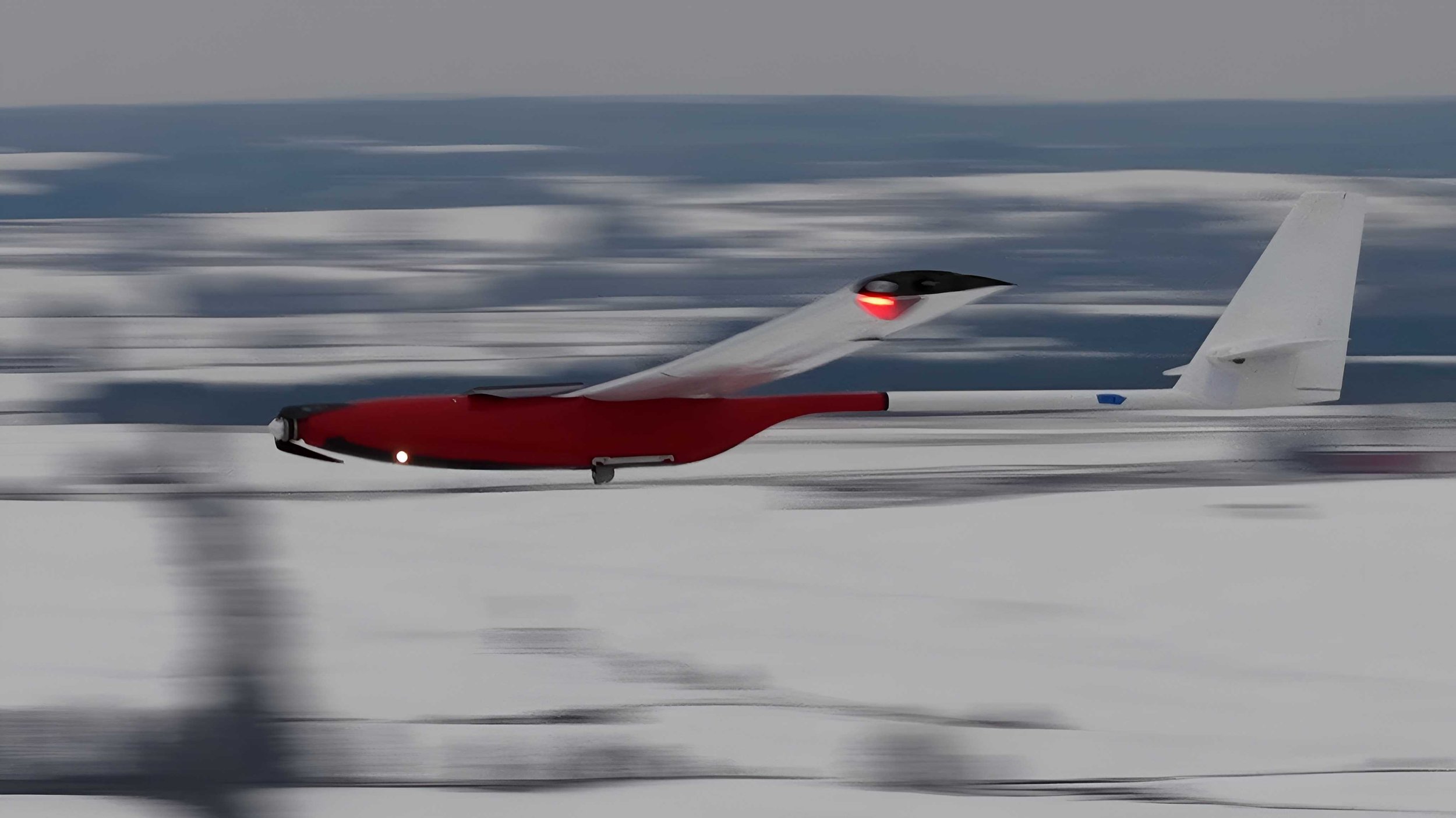
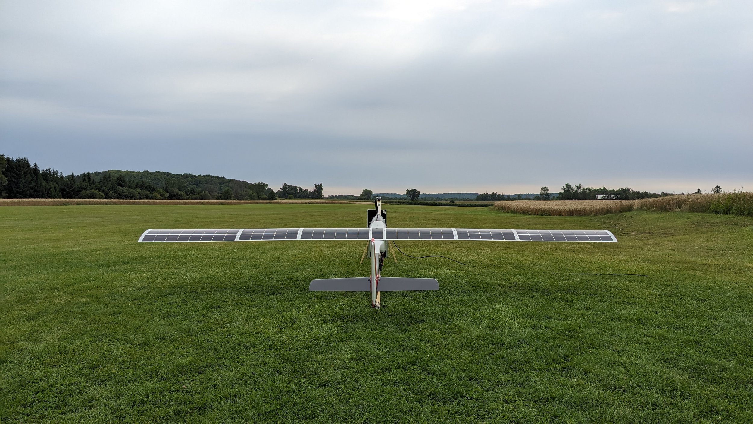
Onboard detect and avoid for true bvlos. No ground observers needed.
We can help you find the answers you’re looking for.
Our Clients


Parks Canada
Our Partners

Record Technology & Development
Toronto Metropolitan University