
Defense & Security
Long-range, all-weather RPAS platforms purpose-built for defense, security, and public safety — including GPS-denied environments, icing conditions, and AI-enabled real-time intelligence.
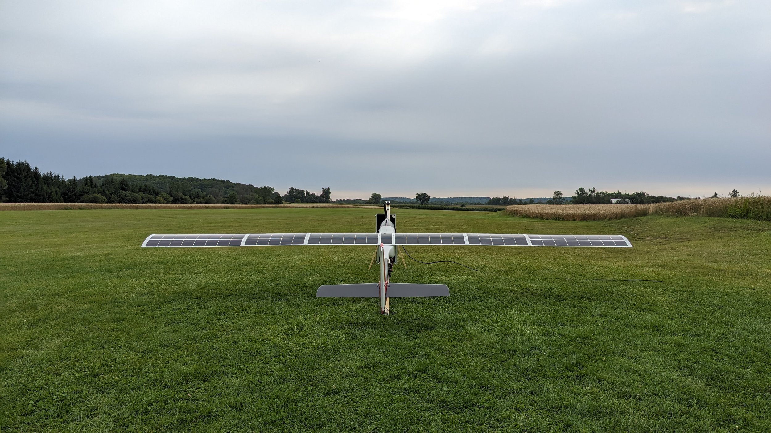
The right sensor for every mission.
A modular payload bay supports rapid sensor swaps between mission types — no airframe changes required. All payloads feed a fused, AI-processed real-time intelligence picture via onboard edge computing.
IMSAR NSP-3
All-weather multi-mode SAR/MTI sensor. 0.3 m resolution. Day, night, fog, and cloud penetrating.
Trillium HD 59
High-end cooled MWIR for day and night operations when performance matters.
NextVision Nighthawk
Low-cost uncooled infrared and electro-optical stabilized gimbal for day and night operations.
Built for defense, security, and public safety.
Superwake platforms operate where crewed aircraft and conventional UAS can't — in extreme cold, severe weather, and environments where GPS is jammed or denied.
AI-enabled intelligence
Onboard edge computing runs automated object tracking and threat assessment in real time — fusing sensor and EO/IR data into a single actionable intelligence picture.
Visual navigation
Optical and computer-vision-based navigation maintains accurate positioning in GPS-jammed or GPS-denied environments — no GNSS dependency.
All-weather protection
Onboard all-weather protection system enables continuous operations through freezing rain and severe weather — when all other platforms are grounded.
BVLOS operations
Onboard detect-and-avoid (DAA) enables Transport Canada-compliant BVLOS operations with no ground observers required.
Rapid deployment
VTOL eliminates launch infrastructure. Operational from any clearing, vessel deck, or forward operating base in minutes.
Low observable signature
Ultra-quiet electric propulsion minimizes detectability — critical for sensitive surveillance and force protection operations.
Aerial intelligence without limits.
Fused sensor data, onboard AI, and edge computing deliver real-time intelligence and decision support to operators in the field.
Fused sensors + EO/IR real-time decision making
Superwake platforms fuse SAR sensor and EO/IR sensor data onboard using edge computing — delivering automated object tracking, threat classification, and actionable intelligence to operators in real time, without dependence on a ground processing station.
Operates in GPS-denied environments
In contested environments where GPS jamming or spoofing is a threat, Superwake platforms maintain navigation accuracy using onboard visual odometry and terrain-referenced navigation — keeping the mission on track regardless of the electronic environment.
Communications extension & mesh networking
Where ground communications infrastructure is unavailable or degraded, Superwake platforms serve as an airborne communications node — extending coverage into remote terrain, valleys, and denied environments through mesh networking and relay capability.
BVLOS for police & public safety agencies
Superwake platforms are Transport Canada BVLOS-compliant, enabling police and public safety agencies to operate beyond visual line of sight without dedicated ground observers. Onboard detect-and-avoid technology meets regulatory requirements for unrestricted BVLOS operations across urban and remote environments.
Choose your platform.
Two purpose-built airframes — select the right tool for your mission profile.
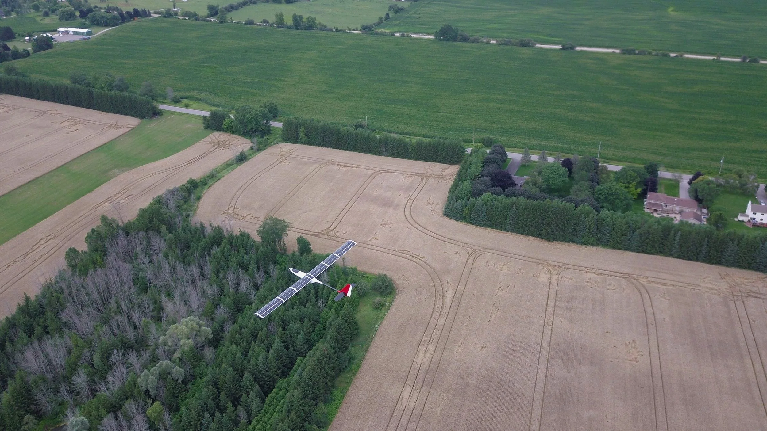
Mission profiles.
Defense, security, and public safety operators can configure the platform and payload around the mission.
Persistent ISR
Multi-hour autonomous surveillance of borders, coastlines, and infrastructure — with AI-fused sensor and EO/IR intelligence.
Maritime domain awareness
Wide-area vessel tracking and AI classification using IMSAR NSP-3 SAR — day, night, and in low visibility.
Border surveillance
Continuous long-range monitoring of remote corridors with automated threat detection and no ground infrastructure.
Force protection
Perimeter monitoring and AI-assisted threat detection around forward operating bases using thermal and sensor payloads.
Search & rescue
AI-assisted thermal detection of personnel across vast, remote terrain — day, night, and in the worst conditions.
Damage assessment
Rapid post-incident EO and SAR mapping for battle damage assessment and site reconstruction.
Ready to discuss your mission?
Our team works directly with defense and security operators to configure the right platform, payload, and support package.
Request a briefing